The Last Discipline Into BIM: Why We Built XD Landscape
Landscape is often the one package still drawn outside the model. XD Landscape brings planting plans, terrain and 2D/3D outputs into Revit, where the rest of the project already lives.

Anas ayoub
Ask a BIM coordinator which package arrives last and least coordinated, and many will give the same answer: landscape. Architecture, structure and MEP live in the federated model. The landscape package often arrives as CAD linework, a separate planting schedule in a spreadsheet, and a hope that the levels match.
That is not a criticism of landscape architects. Their work is some of the most complex on any project: living materials, irregular ground, drainage falls, soil depths, and a design that has to look right on day one and in twenty years. The problem is that the tools most of the industry uses for BIM were never really shaped around that work.
At XD House, we saw this gap on project after project, from airports and arenas to resort and hotel developments across Saudi Arabia's giga-project pipeline. So we built a tool to close it.
Today we are launching XD Landscape, a Revit plug-in for smarter landscape design.
Why landscape gets left behind
Revit was built around buildings: walls, floors, rooms and systems. Those elements are regular, repeatable and easy to describe with parameters. Landscape is different. Terrain is irregular. Planting is counted in hundreds or thousands of individual plants. Hardscape follows falls, levels and edges rather than a structural grid.
Out of the box, Revit can represent much of this, but it takes a lot of manual effort to do it well. Placing and tagging every plant, keeping schedules in step with the plan, and modelling ground that changes shape with every design review all add hours that rarely appear in a fee proposal.
So many landscape teams make a sensible compromise. They model the minimum in Revit to satisfy the BIM execution plan, and produce the real design documentation elsewhere.
That compromise creates three problems that show up again and again:
Duplicate work. Planting plans, schedules and sections are drawn in one place and modelled in another. Every design change has to be made twice, and every time there is a chance the two versions drift apart.
Late coordination. When the landscape model is thin, clashes are found late. Tree pits sit on top of transfer beams. Planter depths do not match the slab build-up. Irrigation and drainage routes cross services that were never shown in the same model.
Thin handover data. The client receives a set of drawings, not a model that knows what was planted, where and in what quantity. For an owner who has to maintain that landscape for decades, that is a missed opportunity.
We saw this most clearly on landscape-led giga-projects with Qiddiya, Amaala and the Red Sea Company. Slope, drainage and surface calculations were being done in specialist civil software, then passed back and forth between landscape architects and civil engineers. Every design change meant another coordination round, and the delay sat exactly in that hand-off.
What it costs a project
None of these problems looks dramatic on its own. A planting schedule updated by hand. A level checked on a PDF rather than in the model. A clash spotted in a site meeting rather than a coordination meeting. But they add up.
Late landscape coordination tends to surface at the worst possible moment: when structure is fixed, services are installed, and the only option left is a compromise in the design. Manual schedules introduce quantity errors that flow straight into procurement. And because landscape is often the last package on site, any delay it causes lands right before handover.
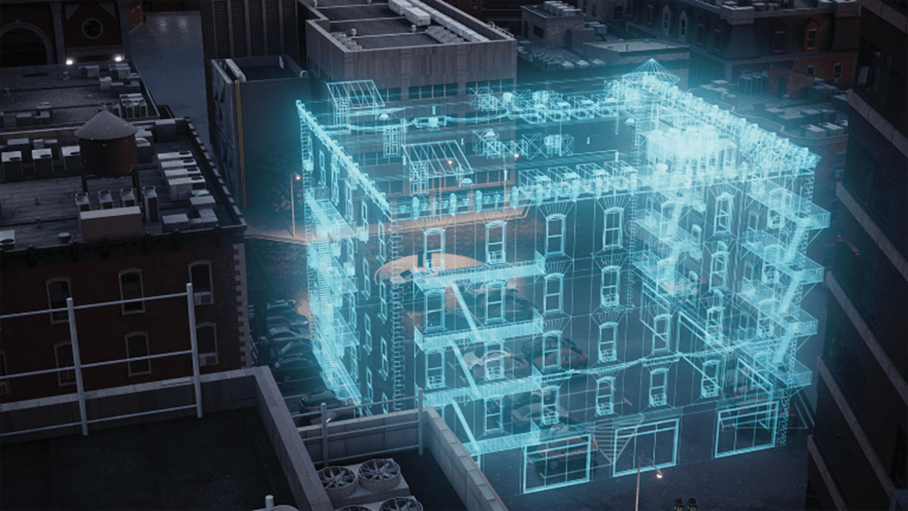
The underlying issue is simple. When one discipline lives outside the model, the model is not really federated. It is federated except for landscape.
What XD Landscape does
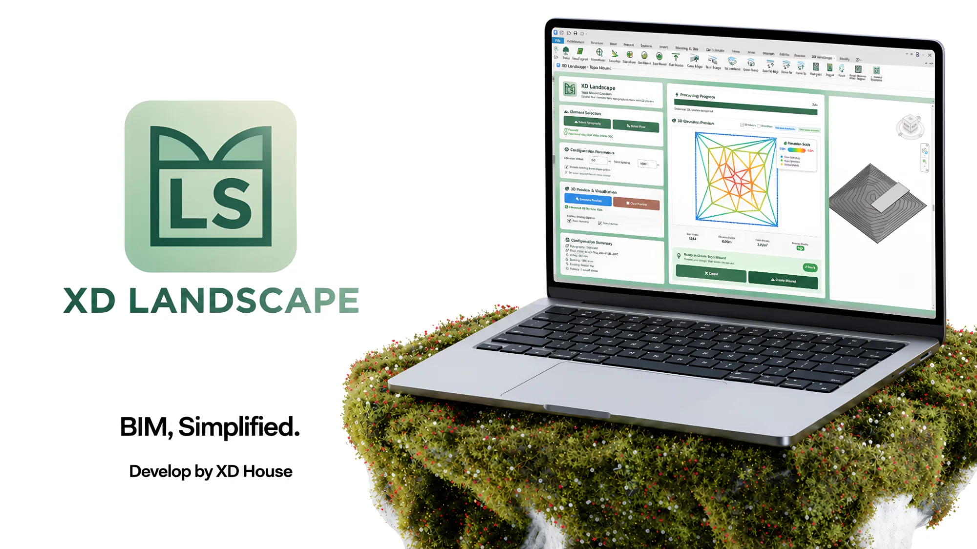
XD Landscape is a purpose-built Revit plug-in. It was developed by our digital construction team from automation workflows we refined on live projects across Qiddiya, Amaala and the Red Sea, rather than designed in isolation. It works natively inside Revit, so there is no export, no second platform and no re-import.
At launch, it focuses on four things:
Native Revit integration. Everything happens in your existing Revit model and project setup. Your worksharing, templates and standards stay as they are.
Automated 2D and 3D outputs. Planting plans, terrain and landscape elements generate documentation directly from the model, so drawings stay in step with the design.
BIM-ready deliverables. Landscape elements carry data. Schedules and quantities come from the model itself rather than a spreadsheet kept on the side.
Terrain and planting in one place. From terrain modelling to planting plans, the tasks that usually take the most manual effort are simplified and handled in one environment.
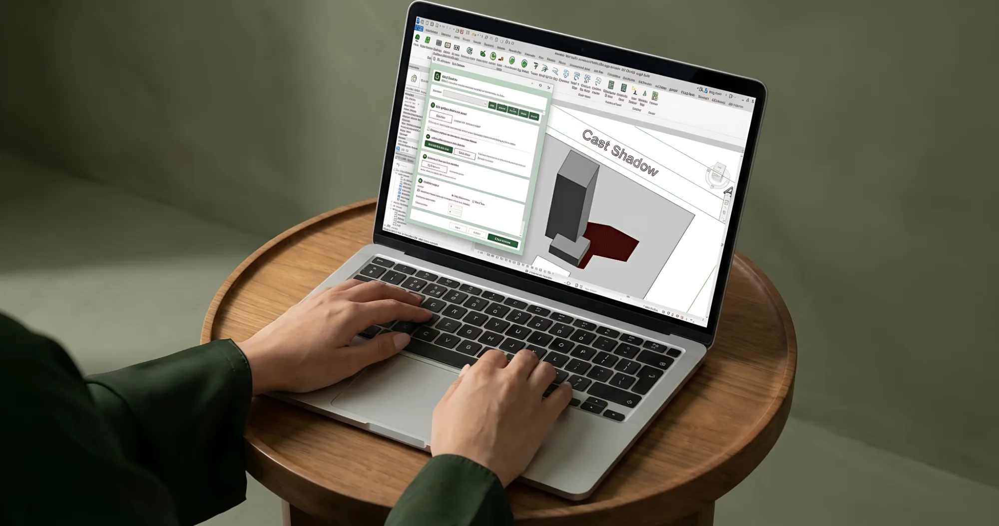
The plug-in adds its own XD Landscape tab to the Revit ribbon, with tools grouped by the job they do:
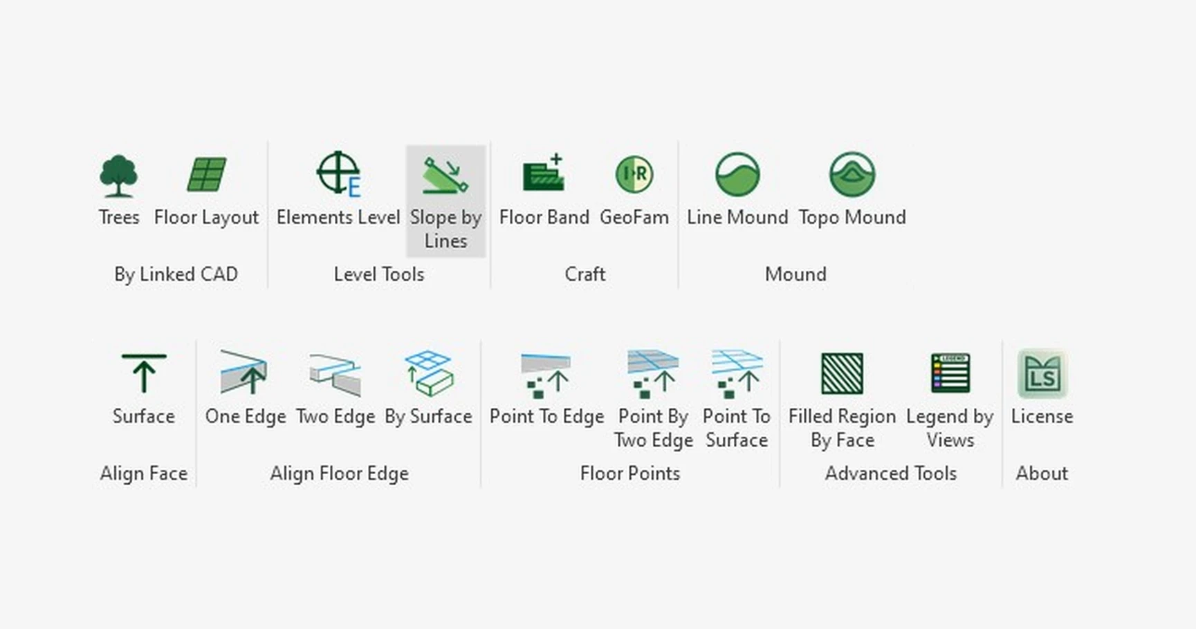
From linked CAD: Trees and Floor Layout turn the layers and boundaries of a landscape CAD drawing into Revit trees and floors. You map each CAD layer to a Revit floor type once, and the plug-in creates the elements automatically.
Levels and slopes: Elements Level and Slope by Lines set heights and falls across hardscape and planting areas.
Mounds and ground shaping: Line Mound and Topo Mound create natural mound forms, while Floor Band and GeoFam help craft edges and landscape features.
Aligning to the ground: Surface, One Edge, Two Edge and By Surface align floors to terrain and neighbouring edges, and the Floor Points tools snap individual points to edges or surfaces.
Documentation: Filled Region by Face and Legend by Views produce the coloured plans and legends landscape drawings rely on.
How it fits into your workflow
We designed XD Landscape to fit around the way landscape and BIM teams already work, not to replace it. A typical workflow looks like this:
Start from your CAD. Link the landscape CAD drawing and use the Trees and Floor Layout tools to turn its layers into Revit trees and floors in one step.
Shape the ground. Set levels and falls, then add mounds and slopes so the model carries the real design geometry, not just a flat outline.
Fit it to the site. Align floors to the terrain and to each other so edges, levels and drainage falls meet cleanly.
Coordinate and document. Share the surface and drainage model with civil engineers and contractors, run it through clash detection, and produce coloured plans and legends straight from the model.
Hand over a usable model. Deliver a landscape model with the data an owner or facility manager needs, not only the drawings.
What changes for your team
The biggest change is that the landscape package stops being the exception. It sits in the same model as everything else, so it can be coordinated, clash-checked and scheduled the same way as every other discipline.
For landscape architects, it means less redrawing when the design moves, and more time on the design itself. Changes made in the model flow through to plans and schedules instead of being copied across by hand.
For BIM managers, it means one fewer discipline to chase at every model drop. Landscape can meet the same model standards as the rest of the project, and it can be checked the same way.
For contractors, it means fewer surprises on site. Tree pits, planters and levels are coordinated with structure and services before work starts, not during it.
For clients and facility managers, it means a landscape model that still holds useful data after handover: what was planted, where, and in what quantity.
Already working on a live project
XD Landscape is not a concept. It is already operational on the Qiddiya Water Park Hotel in Saudi Arabia, where slope gradients, drainage fall lines and surface permeability have to be precisely coordinated to prevent ponding, erosion and structural loading problems.
On that project, slope, drainage and surface calculations that previously needed specialist civil software are carried out directly in Revit, inside the project BIM model. The surface and drainage models are shared with civil engineers and landscape contractors as coordinated datasets, so slope conflicts and drainage clashes are resolved in the model before earthworks begin.
That has a knock-on effect on cost and carbon. Because slope and drainage geometry is computed before any physical work starts, civil contractors get more reliable earthwork volumes to price and plan against. Less unnecessary earthwork means less plant time, less diesel and less material moved.
It also protects the design. Natural-looking landscape, with flowing slopes, mounds and varied surfaces, is among the hardest things to build accurately. Modelling it parametrically means the designer's intent reaches site intact.
Working on a landscape-led project of your own? Talk to our team about how XD Landscape could fit your workflow.
Built with the people who will use it
We are releasing XD Landscape to a waiting list first. Early users get access before public release, exclusive updates, and direct support from our team. Just as importantly, their feedback will shape what we build next.
This is the same approach behind our other plug-ins. XD Cladding grew out of Kuwait International Airport Terminal 2, where 320,000 unique brass cladding pieces could not be detailed by hand within the programme, and is now in use on the Dubai Police Academy and Sharjah International Airport. XD Fit-Out followed from modular coordination on EssilorLuxottica's global retail rollout and is live on the Marina Lifestyle Hotel. XD Landscape follows the same path: a real problem, solved on real projects, then turned into a tool other teams can use.
If your team works on landscape in Revit, or wishes it could, we would like to hear from you. Tell us which tasks take the most time, which outputs your clients ask for, and where today's tools let you down. That is how the next version gets better.
Conclusion
Landscape has been the last discipline into BIM for too long. That is not because landscape teams resist the model. It is because the tools did not fit the work, so the work found its way around the tools.
XD Landscape is our answer: native to Revit, built from project experience, and focused on removing the manual effort that keeps landscape outside the model. When every discipline lives in the same model, coordination gets earlier, documentation gets faster, and the client gets a model worth keeping.
Join the XD Landscape waiting list and get early access →
Prefer a conversation first? Get in touch with our team.